
Way of the Hunter 2 · Wildlife · Guide
Way Of The Hunter 2 Maps — New Laurentia, Kilimaya, and Map Tools
A guide to the Way of the Hunter 2 maps: New Laurentia and the African Kilimaya Reserve, plus need zones, lodges, campsites, and the interactive map tools.
By the New Game Wiki team · Updated 2026-10-04
On this page (10)
- How Many Maps the Game Has
- New Laurentia Overview
- Kilimaya Reserve Overview
- Interactive Map and Map Tools
- Zones, Landmarks, and Fast Travel
- How many maps does Way of the Hunter 2 have?
- How big is the New Laurentia map?
- How big is the Africa map?
- Is there an interactive map for Way of the Hunter 2?
- What zones and landmarks can you find on the maps?
Way of the Hunter 2 currently spreads its hunting across two maps: New Laurentia, the North American wilderness region the game launched with, and the Kilimaya Reserve, the African reserve added in Early Access Update 2. Each map has its own lodge, its own species pool, and its own landmarks, and both are documented through an interactive map built with Shackmaps and through need zones you discover in play. This page covers the size, terrain, and tools of each map, using the official FAQ and the THQ Nordic announcement as the source for the numbers.
How Many Maps the Game Has
At the Early Access launch the game had one map. The official FAQ states that New Laurentia is a 10x10 km open-world region inspired by the North American wilderness, and that an additional map was planned for a near-future update. That update arrived in May 2026 as the Kilimaya Reserve, which THQ Nordic describes as a 100 km2 (40 square mile) African reserve. The two maps are deliberately different in climate and terrain, which is why the species lists barely overlap and why your loadout, clothing, and approach change when you switch.
New Laurentia Overview
| Attribute | Detail | Source |
|---|---|---|
| Region | North America | Official FAQ |
| Size | 10x10 km open-world region | Official FAQ |
| Added | Early Access launch, March 26, 2026 | Fandom wiki |
| Lodge | One map-specific lodge | Fandom wiki |
| Mission content | Four NPCs with their own stories | Official FAQ |
| Terrain theme | North American wilderness, including forest and mountain habitat | Fandom wiki |
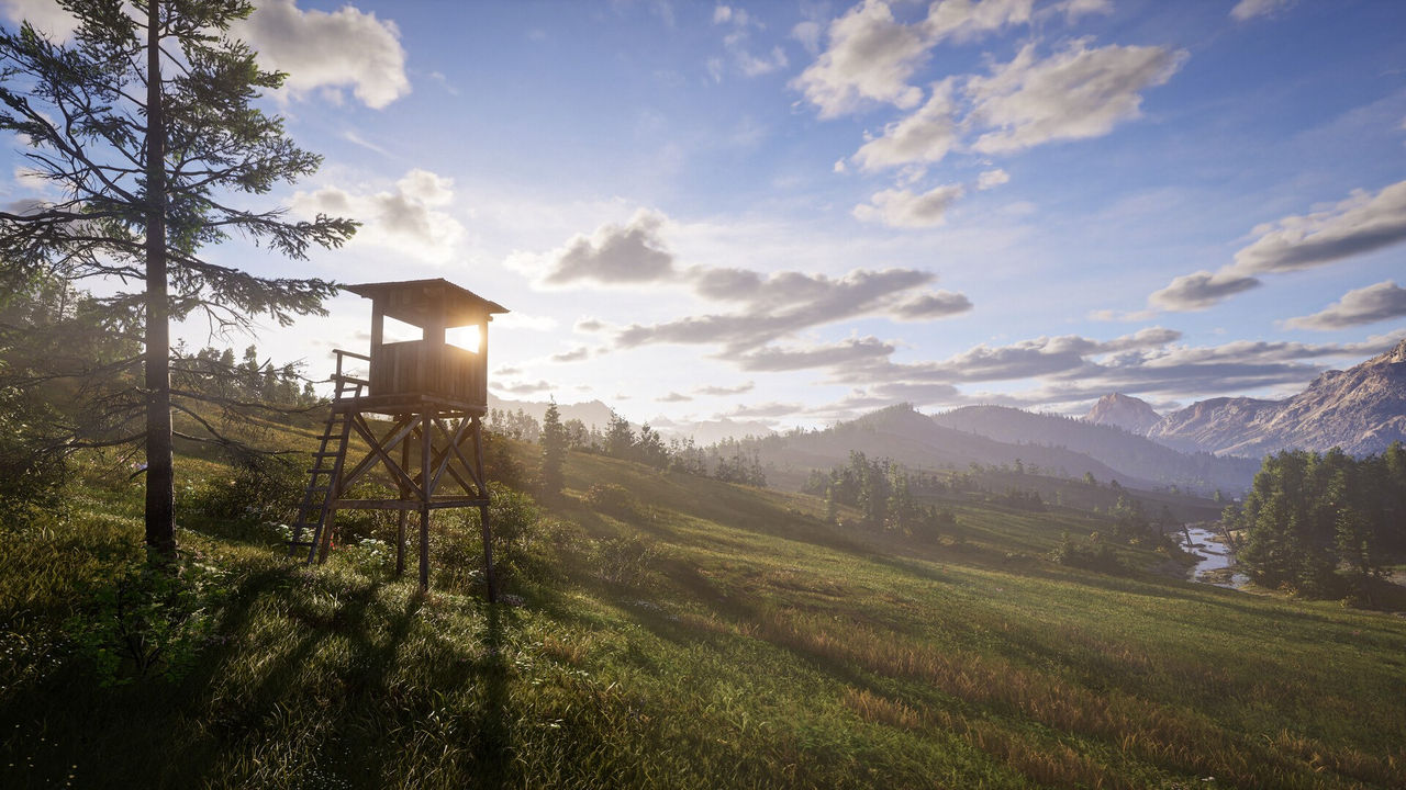
New Laurentia is the map every player learns first, and it is where the opening NPC threads run, including the dog trainer and former warden storyline the Fandom wiki describes. Its habitat variety is what makes herd management interesting here: the Fandom wiki lists highland forest areas such as Haliwitch, White Pine Orchard, Thorn Springs, and Cascade Forest as a single habitat, which matters because an entire habitat's average fitness influences new spawns.
Kilimaya Reserve Overview
| Attribute | Detail | Source |
|---|---|---|
| Region | Africa | THQ Nordic |
| Size | 100 km2 (40 square miles) | THQ Nordic |
| Added | Early Access Update 2, May 26-27, 2026 | THQ Nordic and Nine Rocks |
| New species | Twelve | THQ Nordic |
| Terrain | Highlands, forests, grasslands, wetlands, shrublands, barren terrain | THQ Nordic |
| Landmarks | Ancient stone ruins, remote villages, lookout towers, cave paintings | THQ Nordic |
Kilimaya is built on contrast: the same reserve contains wetlands and sun-scorched barren ground, so a hunt can move from dense cover to open glassing terrain within a short walk. The update also introduced anatomically accurate animal models, with males and females reflecting true biological differences. Between the twelve new species and the landmark set, Kilimaya adds a second full progression surface rather than a small expansion to the existing map.
Interactive Map and Map Tools
The community-facing map tool is the Shackmaps interactive map, built with the help of Nine Rocks Games. Per Shacknews, it shows need zones for every species, plus lodges and campsites, and it is a work in progress that grows over time.
- Need zones — feeding, drinking, and resting areas for each species.
- Lodges and campsites — the hubs and rest points that anchor a hunt.
- Custom pins — a free account lets you mark your own map and suggest pins.
- Filtering — the map includes hide and show controls to cut down on clutter.
- Second-map coverage — the Kilimaya Reserve arrived later, so map coverage for the new terrain may be thinner than New Laurentia, to confirm.
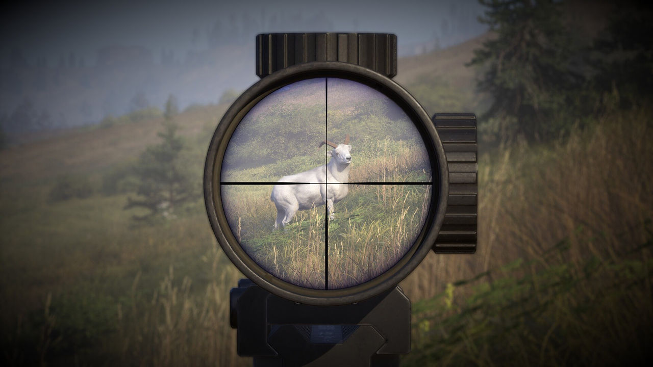
In-game, the map is also your planning board. The official FAQ says tracks are dynamically created between need zones, and that spooked animals can leave temporary dynamic tracks, so a zone you mark on a visit can still change on the next one.
Zones, Landmarks, and Fast Travel
Knowing what you can find on each map is what lets you plan a hunt instead of wandering.
| Marker or system | What it does |
|---|---|
| Need zone | A feeding, drinking, or resting area where a species predictably appears |
| Animal sign | Tracks and traces that hint at which species is using an area |
| Point of interest | Landmarks and collectibles that fill out the map |
| Fast-travel point | A discovered location you can return to instantly |
| Traveling tent | A placeable rest point for a good area with no nearby fast travel |
| Lodge | The map hub for trophies and upgrades |
- Unlock fast-travel points early on both maps to cut backtracking after a long stalk.
- Mark points of interest as you pass them, since exploration achievements and map coverage benefit from deliberate discovery.
- On Kilimaya, watch for ruins, villages, towers, and cave paintings, which are documented landmarks rather than generic scenery.
- Remember zone behavior is dynamic, so re-check a zone if the animals stop showing up there.
- Use the interactive map to cross-reference a species before a trip, then confirm the zone in-game.
To see how zones and habitat feed the population systems, read the herd management guide and the animal list. The Africa page covers the Kilimaya Reserve update in more detail.
FAQ
How many maps does Way of the Hunter 2 have?
The official FAQ says Early Access launched with one map, New Laurentia, a 10x10 km open-world region inspired by the North American wilderness. Update 2 then added the African Kilimaya Reserve, per the THQ Nordic announcement.
How big is the New Laurentia map?
The official FAQ describes New Laurentia as a 10x10 km open-world region, which works out to about 100 square kilometres.
How big is the Africa map?
THQ Nordic describes the Kilimaya Reserve as a 100 km2 (40 square mile) reserve featuring highlands, forests, grasslands, wetlands, shrublands, and sun-scorched barren terrain.
Is there an interactive map for Way of the Hunter 2?
Yes. Shackmaps worked directly with Nine Rocks Games on an interactive Way of the Hunter 2 map that shows need zones, lodges, campsites, and custom pins, per Shacknews. A free account lets you suggest pins and mark your own map.
What zones and landmarks can you find on the maps?
The FAQs and announcements point to feeding, drinking, and resting need zones; lodges and campsites; points of interest; fast-travel locations; and, on Kilimaya, ancient stone ruins, remote villages, lookout towers, and cave paintings.
More in Wildlife
More wildlife pages in Way of the Hunter 2.
- Way Of The Hunter 2 Africa — Kilimaya Reserve GuideGuideUpdated 2026-10-04
- Way Of The Hunter 2 Animal List — Confirmed Species by MapGuideUpdated 2026-10-04
- Way Of The Hunter 2 Herd Management Guide — Fitness and CullingGuideUpdated 2026-10-04
References
- Way of the Hunter 2 interactive map via Shackmaps
- New Laurentia Map | Way of the Hunter 2
- Bless the Rains Down in Africa (THQ Nordic)
- Way of the Hunter 2: FAQ (Nine Rocks Games)
Facts on this page are compiled from the references above. Items marked "to confirm" are single-source and not yet verified.